
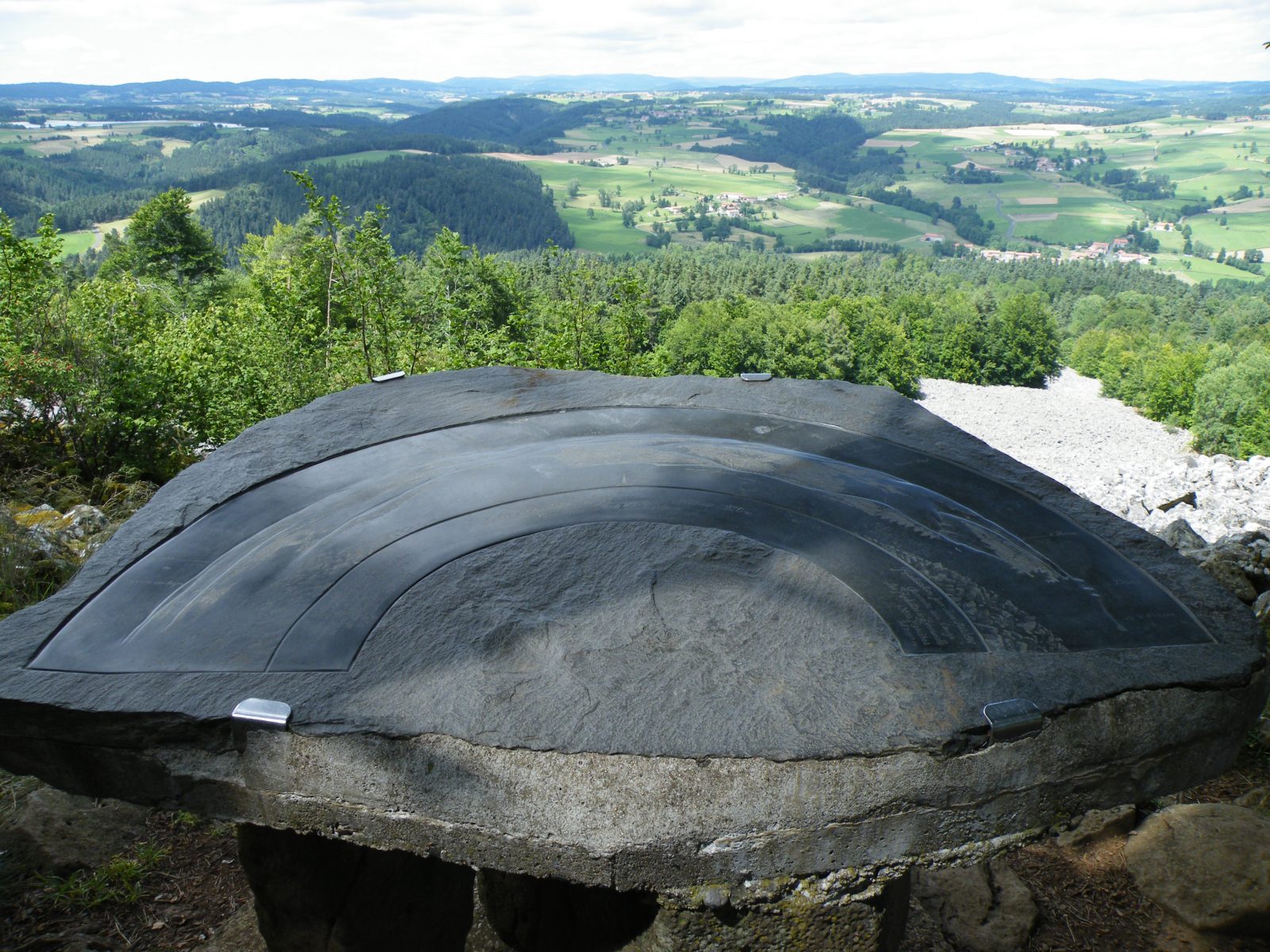
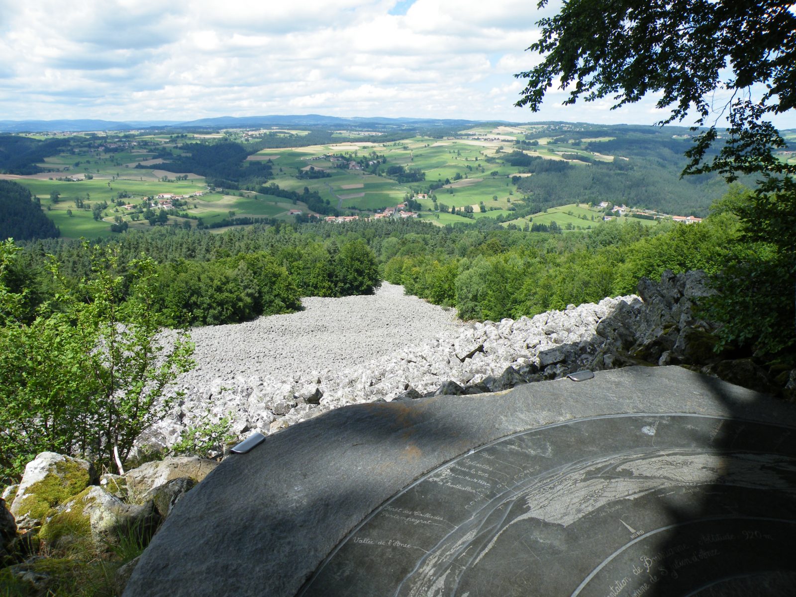
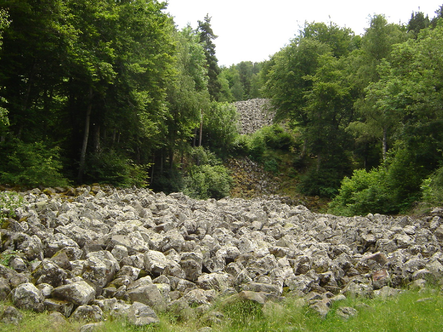
A little stream of stones that turns into a river near the orientation table at the summit


Description
A vast mass of basalt stones showing the force of the erosion carried out on the volcanic hills.
Access: from Saint-Julien-d'Ance, follow the "coulée de lave" ("lava flow") signs.
Parking: alongside the D352 road, near the village of Bourianne.
Hiking: 1 hr 45 mins, 140 m of ascent, path can be difficult in places. Wear some good walking shoes.
Information panels at the start and orientation table at the summit. It is recommended to follow the same route on the way back.
Languages spoken
- French
Prices
Free
Free access.
Opening
All year round.