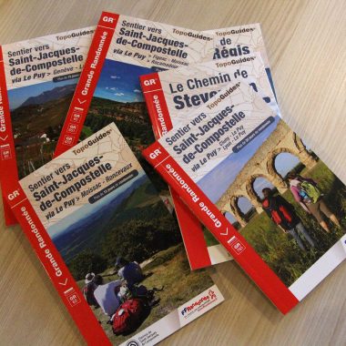
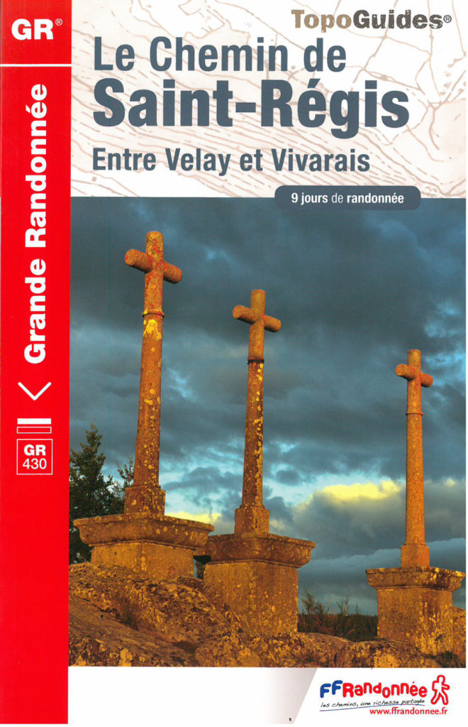
Buy your topographical guide for the Way of St Regis
In the footsteps of Saint-Regis,
leaving from Le Puy-en-Velay
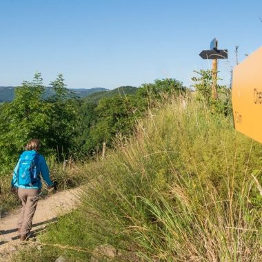
The Way of St Regis is a hiking trail leaving from and ending in Le Puy-en-Velay, and that can be completed in 9 days. It covers a distance of 201 km and takes hikers across the Velay plateaus. Here you can see a magnificent region of medium-altitude mountains, whether on the volcanic plateaus of Mezenc or Meygal or on the granite plateau of Montfaucon.
 Essential
The IGN (Institut National de l’information géographique) map, description of the route, a list of available accommodation, restaurants, and a wide range of practical services, introduction to the landmarks and landscapes and a topographic guide. A light and easy map to carry in your bag, and the essential guide for perfect peace of mind!
Across the
volcanic landscapes
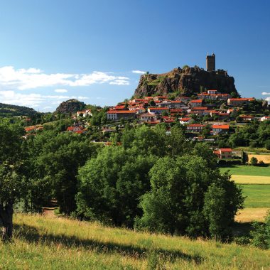
Rich and varied landscapes await you along the way with peace and quiet guaranteed. From Velay to Meygal, the Way of Saint-Regis wends its way across a volcanic region. Le Puy-en-Velay, the starting point, also bears witness to volcanic activity with its rocky peaks. The landscapes of Mézenc are a land of silence and herds.
Le Puy-en-Velay
The trail then leads to the banks of the famous Lake Saint-Front. The unique outline of the Meygal region gives rise to some truly exceptional scenery. A basin of green meadows extends from the foot of the Grand Testavoyre, encircled by the big national forest. A large number of volcanic peaks are scattered across the panorama.
Buy your topographical guide for the Way of St Regis
More information on: www.rando-hauteloire.fr