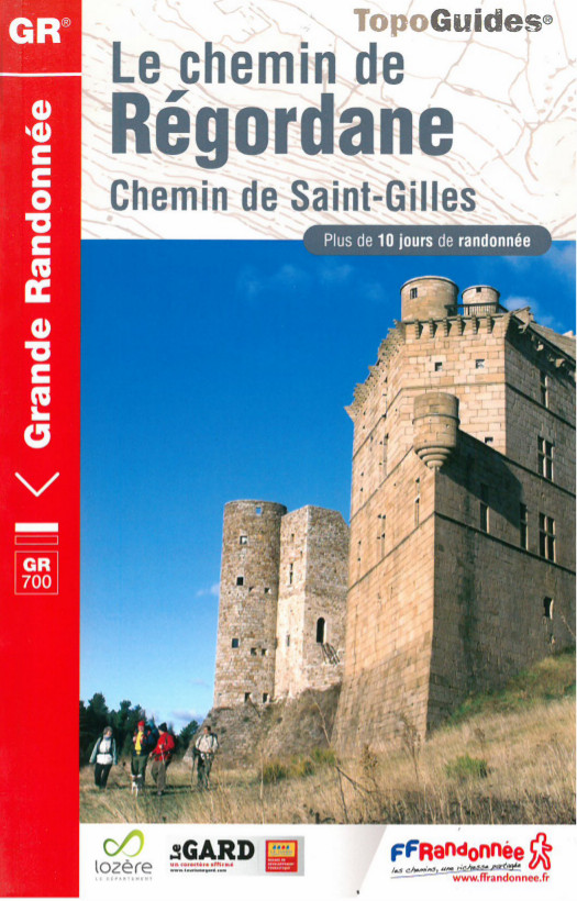
Buy your topographical guide for the Regordane Way
Le Puy-en-Velay, starting point for the Regordane Way
Le Puy-en-Velay really is the meeting point for a large number of major hiking trails, as well as marking the start of the legendary Way of St Jacques. It attracts hikers from all over the world.
The famous Via Podiensis is taken by large numbers of pilgrims each year. The Regordane Way, too, leads up to the high volcanic plateaus of Le Puy-en-Velay. A journey along the Way of Regordane takes in 3 departments: Haute-Loire, Lozère and Gard – and all three are a paradise for hikers.
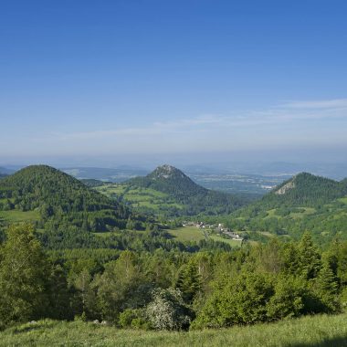
In the land of volcanoes, in Gévaudan, between Cévennes and the Mediterranean Sea, the Regordane Way is a thousand-year-old trail for pilgrimage and encounters. You can admire the landscapes, explore the local history and enjoy a wonderful hiking experience.
Le Puy-en-Velay
 Essential
The IGN (Institut National de l’information géographique) map, description of the route, a list of available accommodation, restaurants, and a wide range of practical services, introduction to the landmarks and landscapes and a topographic guide. A light and easy map to carry in your bag, and the essential guide for perfect peace of mind!
Linking UNESCO-listed monuments
The Regordane Way links a large number of monuments listed by UNESCO as World Heritage sites. As part of the Way of St James, Le Puy-en-Velay Cathedral is a jewel of Romanesque art and the starting point for the Regordane Way.
On this trail, you will see some of the “most beautiful villages in France”, while not forgetting, close by, the Arena of Nîmes and Saint-Gilles abbey church.
The Regordane Way is an infinite source of emotions…
Buy your topographical guide for the Regordane Way
More information on: www.rando-hauteloire.fr